
Introduction: Where Sky and Road Converge
Imagine steering through a landscape where the air thins, the horizon stretches endlessly, and the earth’s curvature feels palpable. The quest to reach the highest drivable point in the United States isn’t just about altitude—it’s a journey into the raw beauty of alpine wilderness, human ingenuity, and the thrill of standing atop the world. Mount Evans Scenic Byway, Colorado’s crowning achievement, claims this title, ascending to 14,130 feet above sea level. This article unravels the history, engineering marvels, and breathtaking vistas of this iconic route, while offering practical insights for adventurers eager to conquer the “Roof of the Rockies.”
A Road Born of Ambition: The History of Mount Evans Scenic Byway
The Mount Evans Scenic Byway, designated Colorado State Highway 5, is a testament to early 20th-century vision. Conceived in the 1920s as a tourist attraction to boost Denver’s profile, its construction began in 1923, with crews blasting through granite using rudimentary tools and sheer grit. Completed in 1930, the road was a marvel of its era, designed to showcase the Front Range’s splendor.

Named after John Evans, Colorado’s second territorial governor, the byway initially served stagecoaches and early automobiles. Its creation faced immense challenges: workers braved avalanches, vertical cliffs, and oxygen-starved air. The final stretch to Summit Lake—a glacial tarn at 12,840 feet—required switchbacks so tight they’re still navigated cautiously today. Recognized as a National Historic Landmark in 1993, the road remains a symbol of perseverance, blending human ambition with nature’s grandeur.
The Ascent: Navigating America’s Highest Paved Road
Starting in Idaho Springs, 30 miles west of Denver, the 28-mile byway climbs 7,000 feet through four distinct ecological zones. The journey unfolds in stages:
- Montane Forest (8,000–10,000 ft): Ponderosa pines and aspen groves line the road, with occasional elk sightings.
- Subalpine (10,000–11,500 ft): Dense spruce-fir forests give way to wind-sculpted krummholz trees.
- Alpine Tundra (11,500–14,130 ft): A treeless expanse of hardy grasses and wildflowers, where marmots and mountain goats roam.
Key landmarks include:
- Echo Lake Park (10,600 ft): A serene picnic spot with canoe rentals and the historic Echo Lake Lodge.
- Mount Goliath Natural Area: Home to ancient bristlecone pines, some over 1,600 years old.
- Summit Lake: One of North America’s highest lakes, offering mirror-like reflections of the surrounding peaks.
The final ascent to the summit is a narrow, guardrail-free stretch where drivers inch past sheer drop-offs. At the top, a short trail leads to the ruins of the Crest House, a 1941 observatory destroyed by fire in 1979. On clear days, views span 100 miles, encompassing Denver’s skyline and Pikes Peak.
Engineering Marvels: Building a Highway in the Clouds
Constructing a road at this altitude required innovations still admired today. Engineers used dynamite to carve switchbacks into cliffs, while retaining walls were built from local stone to blend with the environment. The road’s gradient never exceeds 7%, a deliberate choice to prevent engine strain in early automobiles.
Modern upgrades include reinforced pavement to withstand freeze-thaw cycles and improved drainage to combat erosion. Seasonal closures (October–May) protect both motorists and the fragile tundra from winter’s wrath.
Safety First: Navigating High-Altitude Challenges
Driving at 14,000 feet poses unique risks:
- Altitude Sickness: Symptoms like dizziness and nausea can strike rapidly. Acclimate in Denver for 24+ hours before ascending.
- Weather Volatility: Summer afternoons bring lightning; descend by 1 PM to avoid storms.
- Vehicle Readiness: Ensure brakes and engines are robust; overheating is common on steep grades.
- Wildlife Hazards: Mountain goats often wander onto roads; maintain a safe speed (25–35 mph).
Environmental Stewardship: Protecting a Delicate Ecosystem
The alpine tundra survives on a knife’s edge, with plants taking decades to recover from trampling. The U.S. Forest Service enforces strict rules:
- Stay on marked trails.
- Pack out all trash.
- Avoid disturbing wildlife.
Efforts like revegetation projects and shuttle services from Denver aim to reduce traffic impact, preserving the byway for future generations.

Mount Evans Scenic Byway at a Glance
Feature | Details |
|---|---|
Elevation | 14,130 feet (Summit) |
Length | 28 miles (Idaho Springs to Summit) |
Best Time to Visit | June–September |
Key Stops | Echo Lake, Summit Lake, Mount Goliath |
Wildlife | Mountain goats, marmots, bighorn sheep |
Admission Fee | $15 (Federal Lands Pass accepted) |
Conclusion
Mount Evans Scenic Byway isn’t merely a road—it’s a pilgrimage to the sky. Its hairpin turns and thin air test resolve, but the reward—panoramic vistas and the pride of conquering America’s highest drivable point—is unparalleled.
FAQs
1. What is the best interstate for a road trip?
Interstate 70 through Colorado and Utah offers unmatched diversity, from Rocky Mountain peaks to red-rock canyons. Highlights include Glenwood Canyon’s cliffs and Moab’s Arches National Park. The route blends natural wonders with modern engineering, like the Eisenhower Tunnel. Ideal for drivers seeking both adventure and accessibility.
2. What’s the best road trip?
Pacific Coast Highway (California State Route 1) reigns supreme, spanning 656 miles of coastal cliffs and misty redwoods. Iconic stops include Big Sur’s Bixby Bridge and Malibu’s beaches. Seasonal whale migrations and sunset vistas make it a photographer’s dream.
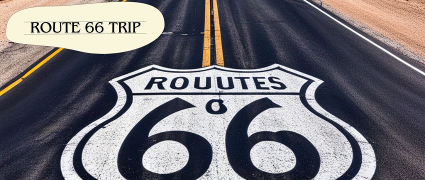
3. Why is Route 66 famous?
Route 66 symbolizes mid-20th-century Americana, linking Chicago to Santa Monica. It supported Dust Bowl migrants and became a pop culture icon via songs and films. Quirky stops like Cadillac Ranch and retro diners preserve its nostalgic charm.
4. What is the slowest you can legally drive on the interstate?
Most states mandate a minimum speed of 40–45 mph on interstates to prevent traffic obstruction. Slow vehicles must use hazard lights and stay in the right lane. Exceptions exist for emergencies or adverse weather.
5. What is the most beautiful road trip in the USA?
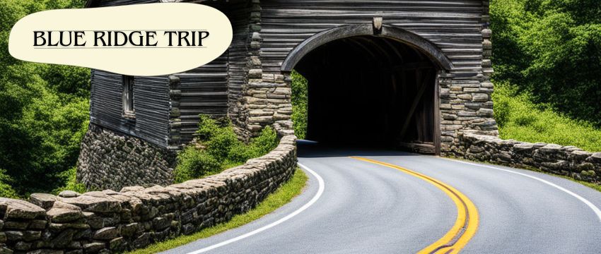
Blue Ridge Parkway winds 469 miles through Appalachian highlands, famed for fall foliage and misty valleys. Highlights include Linn Cove Viaduct and Shenandoah National Park. Its leisurely pace and scenic overlooks epitomize serene driving.
Embark on Mount Evans Scenic Byway—where every turn elevates not just your journey, but your spirit. 🏔️🚗
Our team is creating outdoor-gear relevant articles with passion. If our articles can help you to find the correct solutions for your questions, we will be happy about that. In the content creation process, we usually collect accurate and useful information online or offline to compile our content in an organized way. Consequently, we can guarantee that you can discover some expected answers to your questions. We appreciate your time on our site.