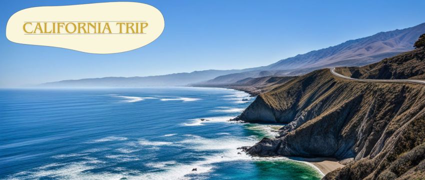

Introduction: The Crown Jewel of American Roadways
The Pacific Coast Highway (PCH), also known as California State Route 1, isn’t merely a road—it’s a symphony of crashing waves, misty cliffs, and golden sunsets that etch themselves into your soul. Spanning 656 miles from Dana Point in Southern California to Leggett in the north, this iconic route is often hailed as the #1 scenic drive in the USA. But what elevates it above other legendary roads like the Blue Ridge Parkway or Going-to-the-Sun Road? The answer lies in its unmatched diversity: one moment you’re navigating hairpin turns above turquoise coves, the next you’re cruising past vineyards or redwood forests. This article unpacks the PCH’s history, highlights its must-see landmarks, and reveals why it remains a bucket-list staple for travelers worldwide.
A Journey Through Time: The History of the Pacific Coast Highway
The PCH’s origins are as dramatic as its vistas. Construction began in 1919, but the highway’s most treacherous stretch—Big Sur—wasn’t completed until 1937. Engineers faced sheer cliffs, landslides, and the relentless Pacific, using dynamite and sheer grit to carve a path through rock. The Bixby Creek Bridge, completed in 1932, stands as a testament to this era. Its 360-foot span, towering 260 feet above the canyon, was a marvel of Depression-era engineering.
The road also played a role in World War II, serving as a coastal defense route. Today, its legacy is preserved through meticulous conservation efforts. Organizations like the California Coastal Commission fiercely protect its unspoiled beauty, ensuring that billboards and urban sprawl never mar its wild charm.
Iconic Landmarks: Must-See Stops Along the PCH
- Big Sur: This 90-mile stretch between Carmel and San Simeon is the PCH’s beating heart. Highlights include McWay Falls, an 80-foot waterfall that cascades onto a secluded beach, and Pfeiffer Beach, where violet sands glow at sunset.
- Hearst Castle: Perched atop San Simeon’s “Enchanted Hill,” this 165-room estate built by William Randolph Hearst blends Mediterranean Revival architecture with Hollywood glamour.
- Point Lobos State Natural Reserve: Known as the “greatest meeting of land and water,” its trails wind through cypress groves and tide pools teeming with sea otters.
- Bixby Creek Bridge: The most photographed bridge on the West Coast, offering vertigo-inducing views of the Pacific.
- Monterey Bay Aquarium: A detour into Monterey rewards visitors with exhibits showcasing the bay’s kelp forests and rescued sea otters.
When to Go: Timing Your PCH Adventure
While the PCH is stunning year-round, spring (April–June) is ideal. Wildflowers blanket the hills, migrating whales breach near the shore, and fog is less frequent. Fall (September–October) offers crisp air and fewer crowds, but sections like Big Sur can experience road closures due to winter storms. Summer brings heavy tourist traffic, turning two-lane roads into parking lots. For photographers, the “golden hour” before sunset bathes the coast in warm, diffused light, perfect for capturing Bixby Bridge’s silhouette.
Travel Tips: Navigating the PCH Like a Pro
- Rent a Convertible: The open-top experience amplifies the sights, sounds, and smells of the coast.
- Pack Layers: Coastal temperatures swing from 50°F to 80°F in a single day.
- Fuel Up: Gas stations are sparse in Big Sur; top up in Cambria or Carmel.
- Check Road Conditions: Landslides frequently close Highway 1. Visit Caltrans’ website for updates.
- Book Lodging Early: Quirky stays like the Post Ranch Inn or Treebones Resort sell out months in advance.
Ecological Wonders: Flora and Fauna Along the Route
The PCH traverses 12 state parks and 3 national marine sanctuaries. Keep an eye out for:
- Gray Whales: Migrate past the coast December–April.
- California Condors: With 10-foot wingspans, these endangered birds soar above Big Sur.
- Monarch Butterflies: Cluster in Pacific Grove’s eucalyptus groves each winter.
- Elephant Seals: Congregate at Piedras Blancas Rookery, barking and sparring on the sand.
Cultural Impact: The PCH in Film, Music, and Literature
The PCH has inspired countless artists. Jack Kerouac immortalized Big Sur in his 1962 novel, while films like Soul Surfer and Basic Instinct used its cliffs as backdrops. Musicians like the Beach Boys and Red Hot Chili Peppers reference the highway in lyrics, cementing its status as a symbol of California’s free-spirited soul.
Pacific Coast Highway at a Glance
Feature | Details |
|---|---|
Length | 656 miles |
States Covered | California |
Key Attractions | Big Sur, Bixby Bridge, Hearst Castle, Monterey Bay |
Best Time to Visit | April–June (spring) |
Unique Wildlife | Gray whales, condors, elephant seals |
Conclusion
The Pacific Coast Highway isn’t just a drive—it’s a pilgrimage for anyone who craves raw natural beauty and a touch of adventure. From engineering feats to ecological wonders, it embodies the spirit of exploration.

FAQs
1. What is the highest drivable place in the USA?
The highest paved road in the U.S. is Colorado’s Mount Evans Scenic Byway, reaching 14,130 feet. Open seasonally, it offers views of alpine lakes and mountain goats. The thin air at this elevation can cause altitude sickness, so acclimate gradually. Visitors often stop at Summit Lake, a glacial tarn surrounded by craggy peaks. The road closes in winter due to heavy snowfall.
2. Can you drive to Hawaii from California?
No, Hawaii is 2,500 miles across the Pacific Ocean, making driving impossible. Vehicles must be shipped via freight services, which take 1–2 weeks. Travelers instead fly to Hawaii and rent cars locally. Ferries operate between islands, but none connect to the mainland. The idea of a trans-oceanic bridge or tunnel remains science fiction.
3. What is the best interstate for a road trip?
Interstate 70 through Colorado and Utah is a top contender. It cuts through the Rockies, offering access to ski resorts and red-rock canyons. Highlights include Glenwood Canyon’s cliffs and Moab’s Arches National Park. The Eisenhower Tunnel, at 11,158 feet, is the highest point on the U.S. interstate system. Its mix of scenery and engineering makes it unforgettable.
4. What’s the best road trip?
Route 66 is the quintessential American road trip, spanning 2,448 miles from Chicago to Santa Monica. It weaves through retro diners, neon-lit motels, and the Southwest’s deserts. Iconic stops include the Cadillac Ranch and Petrified Forest National Park. Its nostalgia and cultural depth make it a timeless journey.
5. Why is Route 66 famous?
Route 66 symbolizes America’s mid-20th-century road trip craze. It supported Dust Bowl migrants heading west during the Great Depression. Pop culture references in songs and shows like Cars cemented its legend. Today, its abandoned gas stations and quirky attractions evoke a bygone era.
6. What’s the slowest you can legally drive on the interstate?
Most states require drivers to maintain at least 40–45 mph on interstates unless posted otherwise. Driving too slowly can impede traffic and result in citations. Exceptions exist for vehicles like tractors, which may use hazard lights. Always check state-specific laws to avoid fines. Safety, not speed, should dictate your pace.
Hit the road, and let the Pacific Coast Highway redefine your idea of beauty. 🌊🚗
Our team is creating outdoor-gear relevant articles with passion. If our articles can help you to find the correct solutions for your questions, we will be happy about that. In the content creation process, we usually collect accurate and useful information online or offline to compile our content in an organized way. Consequently, we can guarantee that you can discover some expected answers to your questions. We appreciate your time on our site.